

So.Ge.T.
Geoelectrical Surveys
![]()
Geoelectrical Resistivity Tomography
Geoelectrical tomography, the leading technique in geo—electrical measurements, combines modern techniques of data acquisition with performing interpretation solutions. It is based on the different electrical property of the materials constituting the soil investigated.
In general, the geoelectrical investigations are easily adaptable to every situation and used in prospecting for minerals, hydrogeology, geological exploration, engineering geophysics, archaeology and frequently for investigating geological structures covered by water. The 3D applications are nowadays much exploited, considering the software and computing capacity progress, and may result very useful in representing volumes of interest. So.Ge.T can count on a solid background for the processing of the geoelectrical data, both in two and three dimensions.
Induced Polarization Tomography
The study of induced polarization (IP) is a second-order measurement of resistivity. As a matter of facts, the IP data can be acquired as an addition to a resistivity survey, using the same array, cables, sensors and multichannel resistivity systems, so that acquiring IP data can be inexpensive and straightfon/vard. The method is particularly well suited for problems related to landfills, organic non-aqueous phase liquid (NAPL) plumes, lithologic discrimination and polluted soils study.
Available Equipment
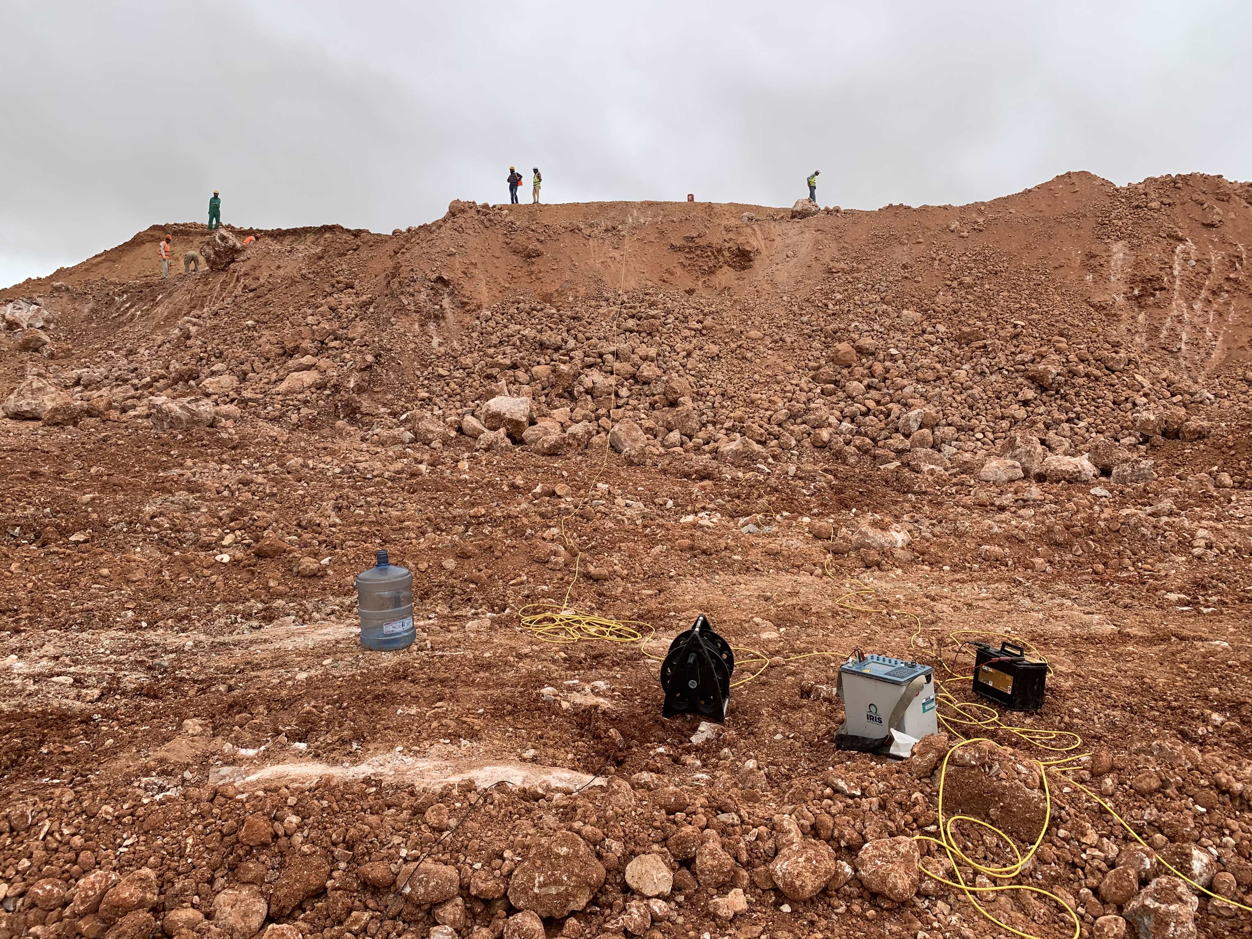
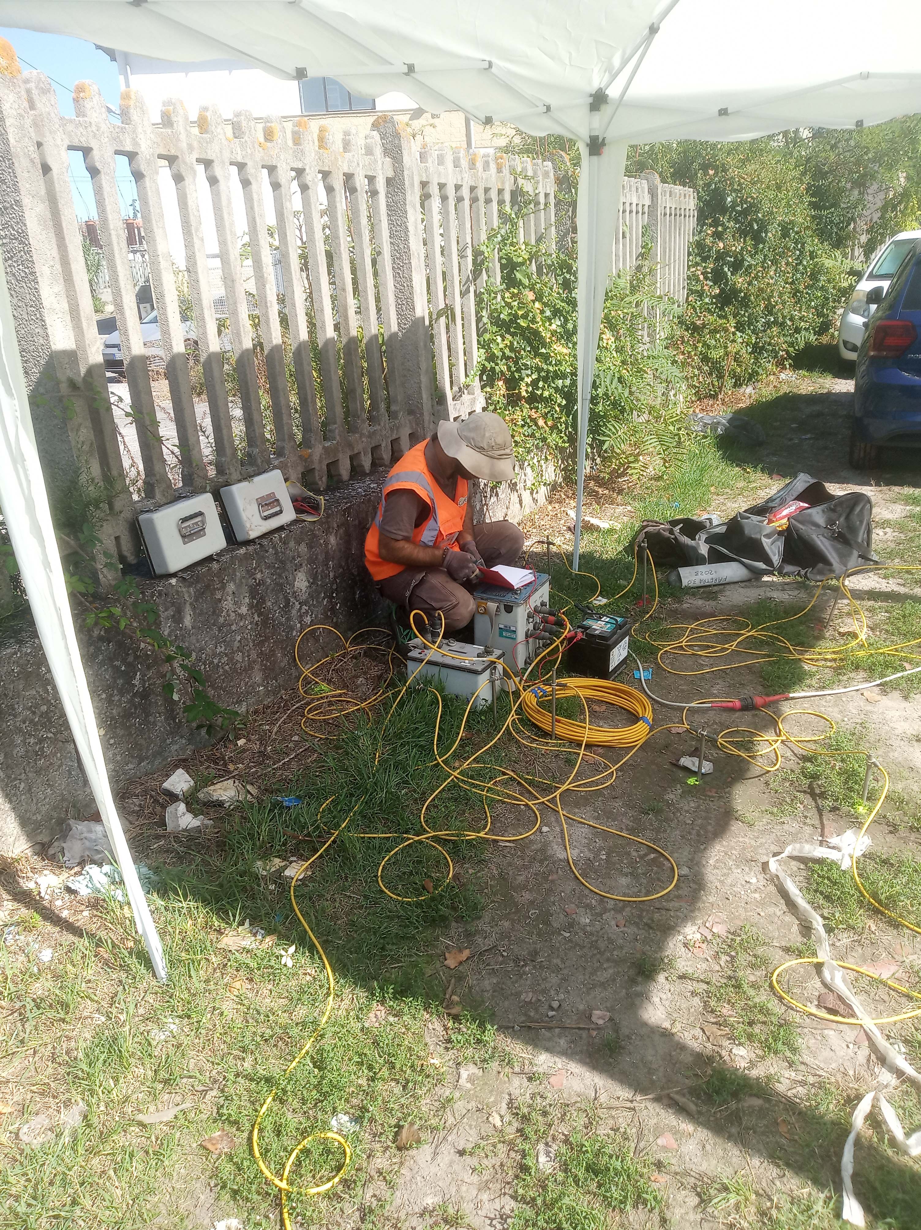
- Geo-resistivimeter Syscal-PRO® (IRIS instrument) for 72 electrodes acquisitions;
- Stainless steel electrodes;
- Un-polarizable electrodes;
Common Application
So.Ge.T. has been committed in implementing geoelectrical investigations since the early period. Most of the aims are represented by:
Aquifer description, flow direction, groundwater depth, intrusion of salt water;
Detection and mapping layers (sand, gravels and clay deposits) and bedrock;
Identification of fractures, fissures, and unconsolidated layers;
Mineral Exploration;
Delineation of oil stains and spots brine;
Leak detection (also in tanks) of inorganic and hydrocarbon pollutants and groundwater contamination, buried waste;
Mapping and detection of cavities, voids and caves;
Identification and study of wells, tunnels, bridges or pipe route;
Archaeological fields, old settlements